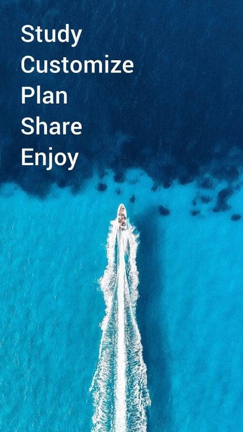
Navionics® Boating is a must-have app for anyone who loves being out on the water, whether you're a dedicated boater, an avid angler, or a seasoned sailor. This powerful smartphone tool transforms your boating experience with its up-to-date charts and an array of features designed to make your time on the water smoother and more enjoyable. And here's the best news: you can dive into the app for free for a limited time. With the world-class Navionics charts at your fingertips, you'll gain access to comprehensive data about what's above and below the sea. The app also boasts SonarChart HD bathymetry maps, which are perfect for studying the contours of the seabed. But that's not all—Navionics® Boating also connects you with a vibrant community of fellow boaters, where you can share insights, learn from others, and even connect with friends by sharing your current position, routes, and more. The app's compatibility with external devices opens up even more possibilities, such as SonarChart Live Mapping and the ability to monitor maritime traffic. With daily updates, you'll always have the latest and most reliable information to guide your adventures.
Features of Navionics® Boating:
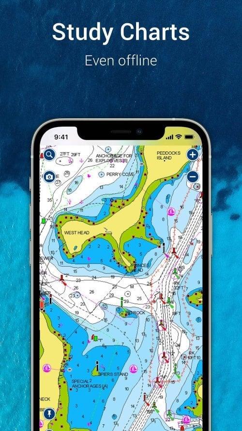
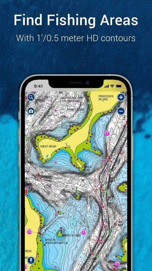
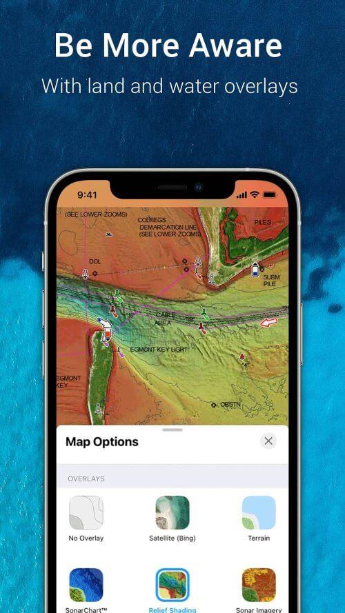
World-class Navionics charts: The app provides access to reliable and up-to-date Navionics charts, complete with overlays, nautical charts, and SonarChart HD bathymetry maps. These tools are essential for safe and efficient navigation, offering boaters, anglers, and sailors the information they need to explore with confidence.
Active and helpful community: Engage with a thriving community of fellow boaters within the app. Share local expertise, discover attractions, and receive navigation aids and expert advice. The app also allows you to stay connected with friends and other boaters by sharing your current position, tracks, routes, and markers, fostering a collaborative environment for all water enthusiasts.
External device-friendly for more features: Seamlessly integrate the app with chartplotters to transfer routes and markers. Utilize SonarChart Live Mapping to create real-time maps as you navigate. By connecting a suitable AIS receiver to Wi-Fi, you can monitor nearby maritime traffic and receive alerts about potential collisions, enhancing your safety on the water.
Daily updates: With daily updates, the app ensures you're always equipped with the latest information. This includes changes to bottom topography, navigation aids, and maritime services. Staying up-to-date is crucial for a safe and enjoyable boating experience.
Conclusion:
Navionics® Boating is an indispensable tool for anyone who spends time on the water. Its world-class Navionics charts offer the comprehensive and reliable data needed for navigating both above and below the sea. The app's active community enhances your boating experience by connecting you with other enthusiasts, allowing you to share knowledge and discover local attractions. Compatibility with external devices, such as chartplotters and AIS receivers, provides additional features to elevate your adventures. Daily updates keep you informed and safe by ensuring you have the most current information. Download Navionics® Boating now and make your boating adventures easier and more enjoyable.